


Border Highways in India
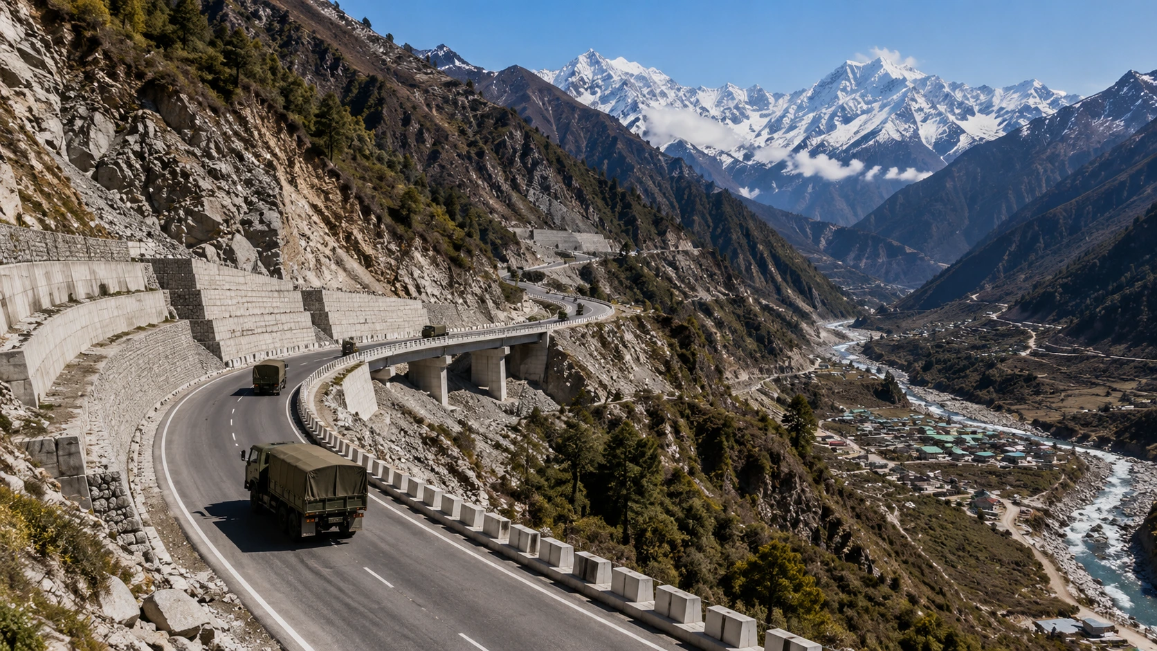
India is preparing a reported plan to build more than 5,000 km of highways in border regions over the next three to five years, with an estimated investment of more than ₹2 trillion. The proposal is aimed at improving military mobility, but the same roads could also connect remote communities to markets, healthcare, education and tourism. Importantly, the 5,000-km figure is from recent reporting based on people familiar with the plan; it is not the same as the 3,318 km of border-connectivity National Highway projects that the Ministry of Road Transport and Highways says were awarded during the last five years.
What is the 5,000-km border highway plan?
The reported 5,000-km programme is a proposed expansion of highway infrastructure along sensitive frontier regions. Recent reporting says the plan could cover strategic stretches along India’s borders with China, Pakistan, Nepal, Bhutan and Myanmar and could involve more than ₹2 trillion over three to five years.
The objective is broader than simply adding kilometres of road. In difficult border terrain, the location and reliability of a road can determine how quickly personnel, equipment, fuel, food and other supplies can reach forward areas. Better civilian connectivity can also reduce the isolation of villages that have historically had limited access to markets and essential services.
The distinction between a reported future plan and an officially sanctioned project is important. The 5,000-km figure should therefore be treated as a reported programme proposal rather than as a completed or fully sanctioned national highway network.
What the government has officially confirmed so far
Official Ministry of Road Transport and Highways data provides a clearer picture of work already awarded and under construction. A July 2026 government release says National Highway projects covering 3,318 km were awarded during the previous five years to improve connectivity in border areas, and 1,301 km of that length had been constructed.
The same release says that 1,191 National Highway projects covering about 25,917 km, with a total cost of ₹7.15 lakh crore, were under construction across India. About 3,100 km of this wider programme was in border areas.
This means the 5,000-km reported plan and the officially reported 3,318-km awarded pipeline should not be treated as identical numbers. One describes a proposed future push; the other is an official measure of projects already awarded in the preceding five years.
Where are the major border highway projects?
The official state-wise data shows that border connectivity work is spread across both the northern and northeastern regions. Among the projects awarded during the last five years, Arunachal Pradesh accounted for 740 km, followed by Jammu and Kashmir with 355 km, Uttarakhand with 266 km, West Bengal with 265 km and Manipur with 241 km.
Other states and Union Territories included in the government’s list are Nagaland, Mizoram, Meghalaya, Tripura, Punjab, Rajasthan, Sikkim, Himachal Pradesh and Ladakh. The mix reflects the fact that India’s strategic frontier is not limited to the India-China boundary; road connectivity is also being improved along other international borders and sensitive approaches.
| Region | Border-connectivity NH length awarded | Why it matters |
|---|---|---|
| Arunachal Pradesh | 740 km | Major eastern frontier; difficult Himalayan terrain |
| Jammu & Kashmir | 355 km | Western frontier and high-altitude connectivity |
| Uttarakhand | 266 km | Access towards sensitive Himalayan border sectors |
| West Bengal | 265 km | Northeast access and the Siliguri region |
| Manipur | 241 km | Northeast and Myanmar-facing connectivity |
Why road connectivity matters for national security
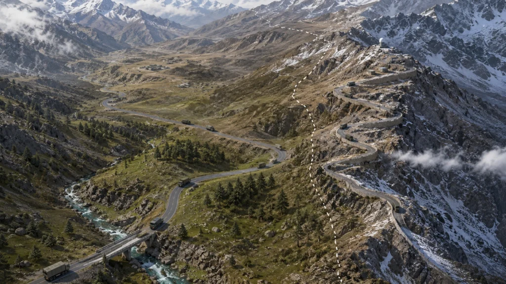
In border operations, the last usable road is strategically important because it affects how quickly forces and supplies can move closer to forward areas. Analysts commonly describe the difference between the Chinese and Indian road-head positions as the “road-head differential”.
The concept is simple: if one side can move vehicles closer to a frontier while the other side’s motorable road ends much farther back, the first side may have a logistical advantage. This does not determine the outcome of a conflict by itself, but it can influence mobilisation time, sustainment and flexibility.
India has been working to reduce this infrastructure gap through roads, bridges, tunnels and other dual-use facilities. The Border Roads Organisation is a major part of this effort. A January 2026 PIB backgrounder says BRO has built more than 64,100 km of roads, 1,179 bridges, seven tunnels and 22 airfields since its establishment in 1960, including infrastructure in border areas and friendly neighbouring countries.
The government’s 2025-26 capital allocation for BRO was ₹7,146.50 crore. Separately, BRO’s total expenditure for FY 2024-25 was reported at ₹16,690 crore, with a target of ₹17,900 crore for FY 2025-26. These figures show the scale of the wider border-infrastructure effort, but they should not be confused with the reported ₹2-trillion highway programme.
Arunachal Frontier Highway: A key example
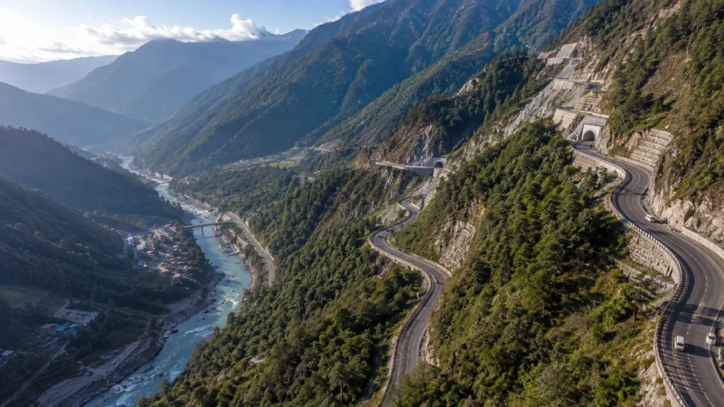
One of the clearest examples of strategic road-building is the Arunachal Frontier Highway, also known as NH-913. Government documents describe it as a strategically important route along the India-Tibet-Myanmar frontier.
A 2025 government document listed the design length at 1,824 km and said the remaining work was being sanctioned or awarded in packages to agencies including the State PWD, BRO and NHIDCL. A later PIB release referred to the highway as a 1,748-km route from Bomdila in the west to Vijaynagar in the east, with 531 km entrusted to BRO. The difference reflects changing project descriptions and stages, so the exact length should be checked against the latest package-level government documents before using it as a fixed final figure.
The strategic value of the corridor is not limited to defence. A frontier road can give remote settlements more reliable access to markets and services while also providing an alternative route for emergency response and logistics.
Roads are also about border-village development
Border roads have a dual-use character. A road built for strategic mobility can also become the main connection for a village, allowing farmers and small businesses to reach markets more easily and making it practical to deliver healthcare, education and public services.
This is particularly relevant in remote Himalayan and northeastern regions where terrain, weather and distance can make everyday travel difficult. Better connectivity can support tourism and local entrepreneurship, although the economic benefits will depend on reliable maintenance, local participation and the availability of complementary infrastructure such as power, telecommunications, healthcare and logistics facilities.
The government has increasingly used the idea of treating frontier settlements as active, connected communities rather than simply as the country’s ‘last villages’. The infrastructure strategy therefore has both a security dimension and a regional-development dimension.
How railways and multimodal connectivity fit in
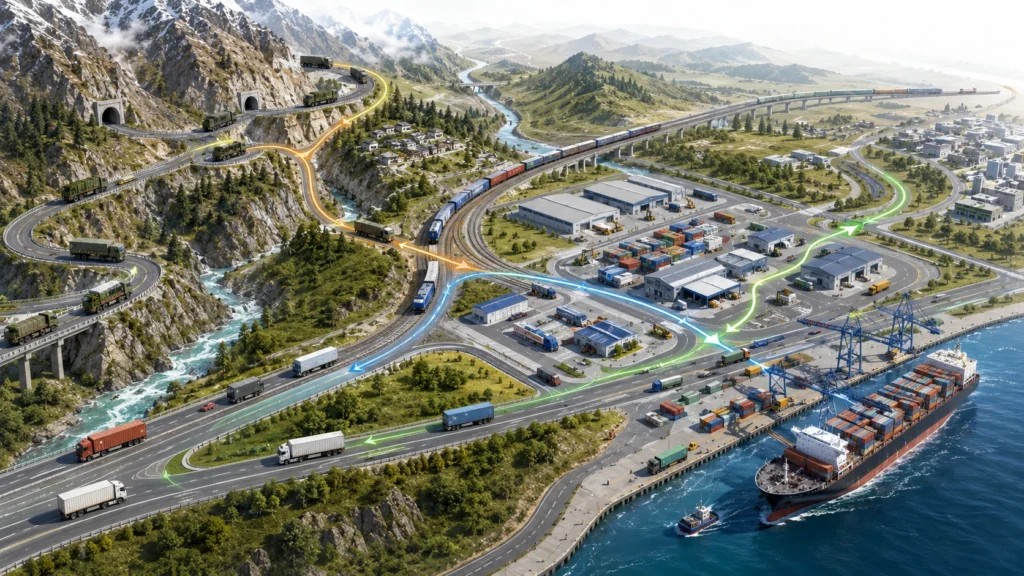
Roads are only one part of the broader border-connectivity push. Recent reporting in August 2026 said India was considering up to ₹45,000 crore of railway upgrades along borders with China, Pakistan and Bangladesh over roughly 18–24 months. The reported programme would include new tracks, platforms and strengthening of existing networks across several frontier states and the Northeast.
That railway figure is also a reported plan rather than a single publicly notified government scheme, so it should be presented cautiously. Its significance lies in the potential for dual-use infrastructure: civilian rail networks can also improve the movement of personnel, equipment and supplies during emergencies.
The wider strategic approach is increasingly multimodal. Roads, railways, bridges, tunnels, airfields and logistics facilities can reinforce one another. A strong road leading to a railhead, for example, can be more useful than either asset operating in isolation.
PM Gati Shakti and Sagarmala: Connecting the wider network
Border infrastructure also fits into broader national connectivity planning. The PM Gati Shakti National Master Plan is being used to coordinate infrastructure planning across ministries and to identify connections between different transport modes. The Ministry of Road Transport and Highways says its highway planning considers traffic density, connectivity needs, road condition and alignment with PM Gati Shakti.
The wider logistics chain can extend beyond the border itself. Sagarmala’s port-connectivity programme focuses on connecting ports with domestic production and consumption centres through road, rail, pipelines and multimodal logistics parks. The programme is therefore not a border-road scheme, but its connectivity infrastructure can complement national logistics by improving links between ports, highways and inland destinations.
The practical idea is straightforward: goods and strategic supplies move more efficiently when road, rail and port networks are planned as connected systems rather than as isolated projects.
The biggest challenges ahead
Building thousands of kilometres of roads in frontier terrain is far more difficult than building a conventional highway in a plain. Himalayan projects can face steep slopes, landslides, snow, sub-zero temperatures, river crossings and limited construction seasons.
Environmental sensitivity is another major consideration. Strategic urgency does not remove the need for appropriate clearances, slope stabilisation, drainage, disaster resilience and long-term maintenance. A road that is technically completed but frequently closed by landslides or snow cannot provide dependable strategic mobility.
Execution and coordination are equally important. Large programmes can involve MoRTH, BRO, NHIDCL, state agencies, the railways, defence authorities and other organisations. Keeping designs, land acquisition, clearances, funding and construction schedules aligned will determine how quickly the planned connectivity becomes usable infrastructure.
What this means for India
India’s border-infrastructure strategy is moving toward a more connected model in which highways are treated as both security assets and development infrastructure. The most important change is not simply the number of kilometres announced; it is the attempt to reduce the time and distance involved in reaching remote frontier areas.
The reported 5,000-km highway programme would be a significant expansion if it is fully sanctioned and implemented. At the same time, official data already confirms substantial work: 3,318 km of border-connectivity National Highway projects were awarded in the last five years, 1,301 km had been constructed, and around 3,100 km of border-area work was part of the national highway construction pipeline as of July 2026.
For readers, the key takeaway is that India is not relying on a single “border highway”. It is building a network of roads and other transport links across multiple frontier regions. The eventual impact will depend on execution, all-weather reliability and how effectively these corridors connect defence logistics with the economic needs of border communities.
Conclusion
The proposed 5,000-km border highways represent a potentially important next phase of India’s frontier connectivity strategy. But the number should currently be understood as a reported plan, while the officially documented 3,318 km of awarded border-connectivity highway projects provides a firmer measure of work already sanctioned and underway.
If the proposed expansion is implemented successfully, its benefits could extend beyond faster military logistics. Better roads, rail links and multimodal connections can also make remote border regions more accessible for residents, businesses, tourism and emergency services.
Explore more on A1InfoHub
For more explainers on India’s infrastructure, technology and major national projects, explore related A1InfoHub articles on highways, railways, strategic infrastructure and emerging developments.

